![[Hiking] From Las Malvas to El Golfo](https://www.coolturalanzarote.com/wp-content/uploads/bfi_thumb/dummy-transparent-nyrhk6ok1momxa35u7oyaitn4vsrxa16ib9bmpndfc.png "[Hiking] From Las Malvas to El Golfo")
[Hiking] From Las Malvas to El Golfo
The path that runs along the stretch between the beach of Las Malvas and El Golfo runs approximately 15 kilometers from the west coast of the island of Lanzarote.
At the beginning of the trail we can find a landscape dominated by the most recent lava flows from the last eruption that interspersed with the oldest erupting into what are called islets. From the beginning of the road you can see Pico Partido, which marks the border with the Timanfaya National Park.
The path through which we enter at the beginning, well marked most of the time, is sometimes lost in the abruptness of the lava field. In those moments you have to trust the instinct and the signs, like heaped stones, that other travelers have left. In the whole journey they accompany the wind and, therefore, the waves that leave beautiful pictures of foam and water breaking in that imperishable lava.
After passing the beach of El Cochino, the ideal place to take a break, we started to head to El Golfo. From here you can observe wet and dry pyroclastic waves, and continue enjoying the coastal erosive processes. The typical elements of hydromagmatic eruptions such as lapilli or stratifications are happening throughout the trail. This Geological Interest Site (LIG) has a volcanic and geomorgological interest.
At El Cochino Beach we will find a lot of empty plastic bottles that damage the environment and the landscape. If you have space in your backpack, we recommend collecting as many as you can.
HOW TO GET
The complexity of this path begins when determining the logistics to do it, since the distance between the starting point and the arrival point is quite broad. We start the tour at La Malvas Beach, which can be reached by directing our steps first to Tinajo, and once following Calle La Laguneta and turning later in the detour to the right that leads to Tenézar. When continuing that path, we will find a dirt road, before turning to Tenézar, that will lead us to the Playa de Las Malvas.
DURATION:
Between 5 hours and a half and 6 hours. The distance is 15 kilometers through a stony and volcanic terrain, difficult to travel.
NOTICE: If you have someone who takes you to the beginning of the trail and picks up at the end in El Golfo, there is no more complication. If this is not the case and you go as a group, you have to add a minimum of two hours to the whole experience, which are those that entail leaving a car in El Golfo to go to Las Malvas and at the end, return forthe car in Las Malvas .
DIFFICULTY
High. Not only because of the time spent, but because of the irregularity of the terrain that generates pain in the legs over time. It is not a walk that can be raised lightly.
RECOMMENDATIONS
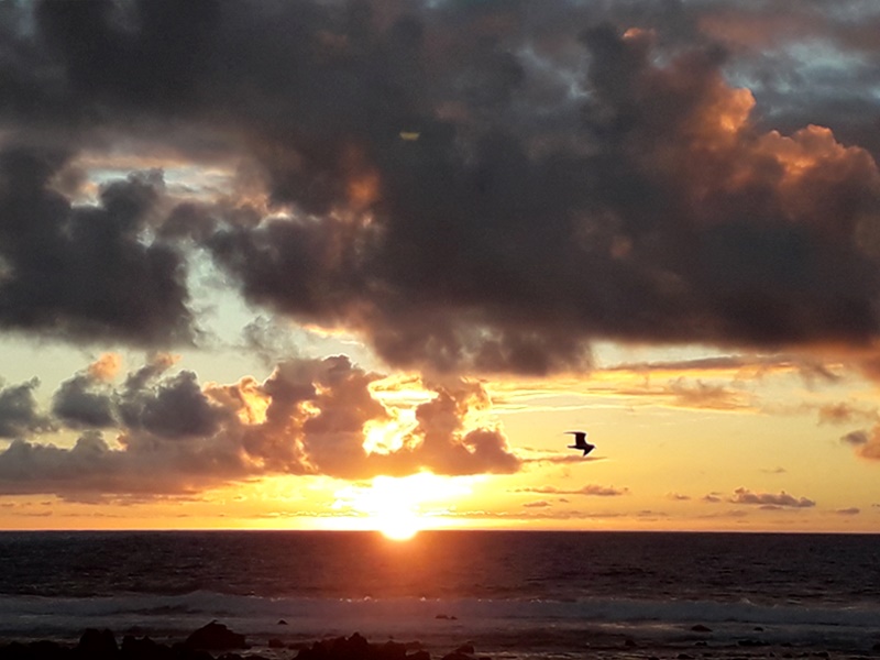
Wear suitable shoes for uneven terrain. At least liter and a half of water per person. Enough food to recover energy. It is best to do it first thing in the morning. If it is done mid-morning to match the arrival to El Golfo with the sunset (highly recommended) it is necessary to bring a hat and sun protection.
[ngg src=”galleries” ids=”2″ display=”basic_thumbnail”]